Flash flood vs riverine flood: how adjusters tell them apart on a claim file
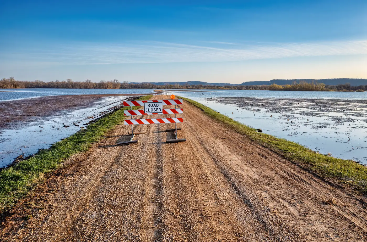
A policyholder calls in water in the basement. The cause of loss field needs a code before the file goes anywhere, and "flood" isn't specific enough to route it correctly or defend the determination later. Flash flood and riverine flood are both flood, but they behave differently on the ground, they show up differently in NOAA and USGS data, and they can trigger different coverage questions depending on the policy form and the state.
What separates the two on paper
A flash flood is runoff. Rain falls faster than the ground, storm drains, or a small creek can carry it away, and water shows up somewhere it normally doesn't within a few hours of the rain. It's a surface water event, driven by rainfall intensity over a small drainage area, and it can hit a neighborhood that sits nowhere near a named river.
A riverine flood is a named watercourse doing what rivers do in a bad year: rising past bank-full, spreading across the floodplain, and staying high for a day or several. Riverine flooding is forecastable hours or days out from gauge data upstream, while flash flooding is measured in minutes between the radar signature and the water in the street, and that gap in lead time is usually the fastest way to sort which mechanism caused a given loss.
For NFIP policies the distinction mostly doesn't matter at claim time, since the Standard Flood Insurance Policy defines flood broadly enough to cover both mechanisms of loss. It matters more on the private flood side and on any policy with a separate surface water exclusion or a sublimit tied to a specific peril definition. It also matters for subrogation and for how your reinsurance treaty buckets the event. A desk reviewing a file months later wants to see the classification logged against public data, not just the adjuster's note.
How the file gets built in practice
Most shops still build this file by hand in the first 48 hours: pull the NWS flash flood warning or watch, pull the nearest USGS gauge reading if there's a river in the loss area, check whether the address sits in a mapped floodplain, and write it up. A handful of claims move through that process fine. A book of a few hundred addresses hit by the same storm system is a different problem, because flash flood and riverine damage frequently overlap in the same event. A hurricane remnant dumps six inches in three hours (flash flood mechanism) while the river it feeds is still cresting two days later (riverine mechanism), and addresses near the confluence can get both.
Working that overlap address by address, gauge report against rainfall totals, is slow precisely when speed matters most. Flood Extent Mapping lays the observed water polygon from satellite imagery over the exposure file as soon as skies clear, so an adjuster can see at a glance which addresses sit outside the mapped extent versus which ones sit inside standing water. An address outside the polygon, in an area where the only evidence of loss would be flash runoff that's already receded, reads very differently on the file than one still sitting inside water from the river. The imagery doesn't replace the cause-of-loss determination, but it gives the adjuster a dated, mapped reference point instead of a verbal description pieced together from news footage and a gauge printout.
What to log regardless of mechanism
Whichever peril code the file ends up with, log the same baseline: time of loss relative to the rainfall or crest, distance from the nearest gauge or warned drainage, and whether the water extent at that address matches surface runoff or channel overflow. Photos of debris lines help more than people think. Flash flood debris tends to be local, organic, and shallow. Riverine debris lines run higher, carry more silt, and often show a consistent waterline across multiple adjacent properties, since the whole block floods to roughly the same elevation.
Get that logged consistently across the book and the classification question stops being a judgment call per file and starts being a pattern you can defend to reinsurers, to regulators, and to your own quality desk.
If you're triaging a mixed-mechanism event across a few hundred addresses this week, see how a mapped water extent speeds that sort.